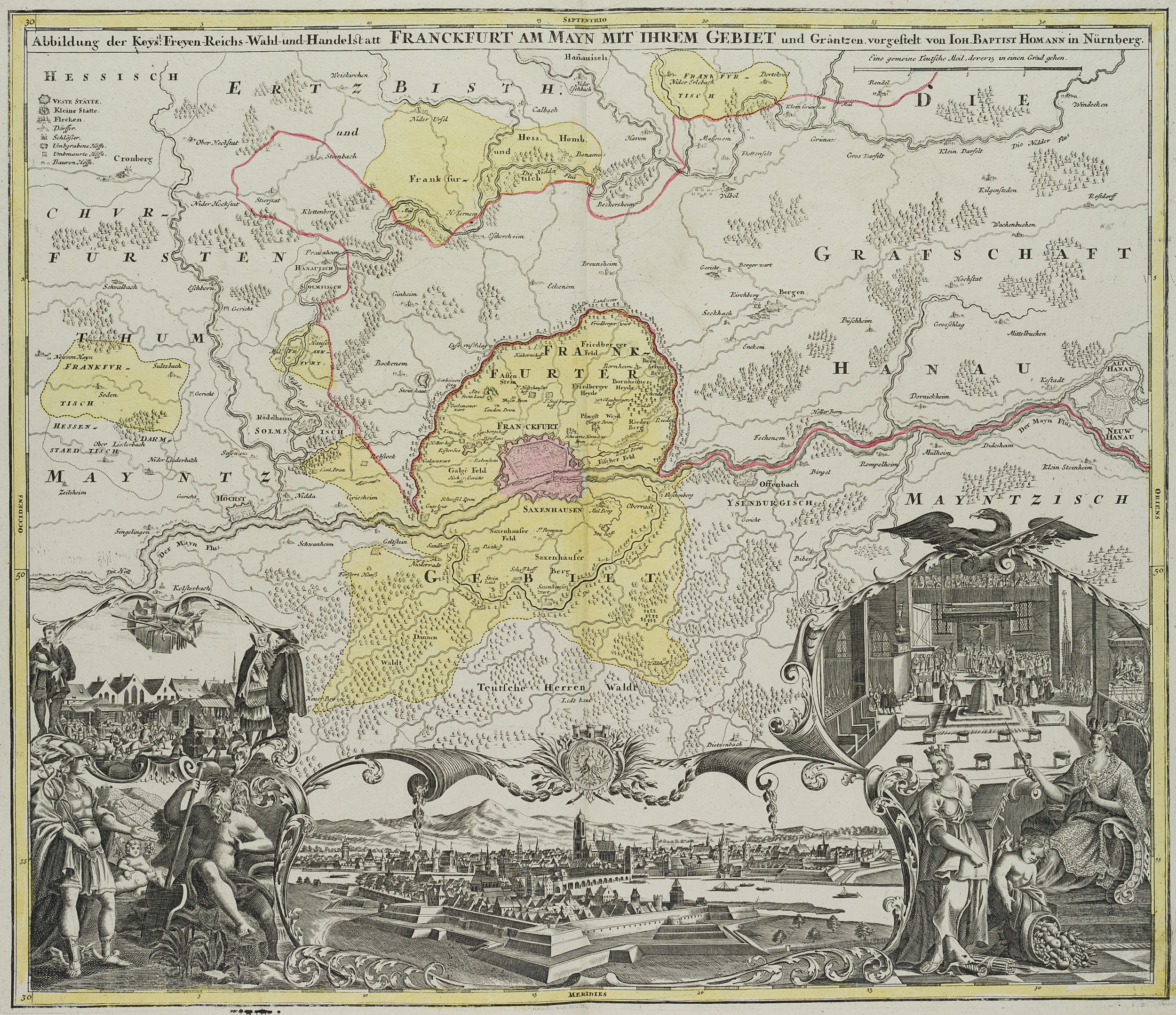
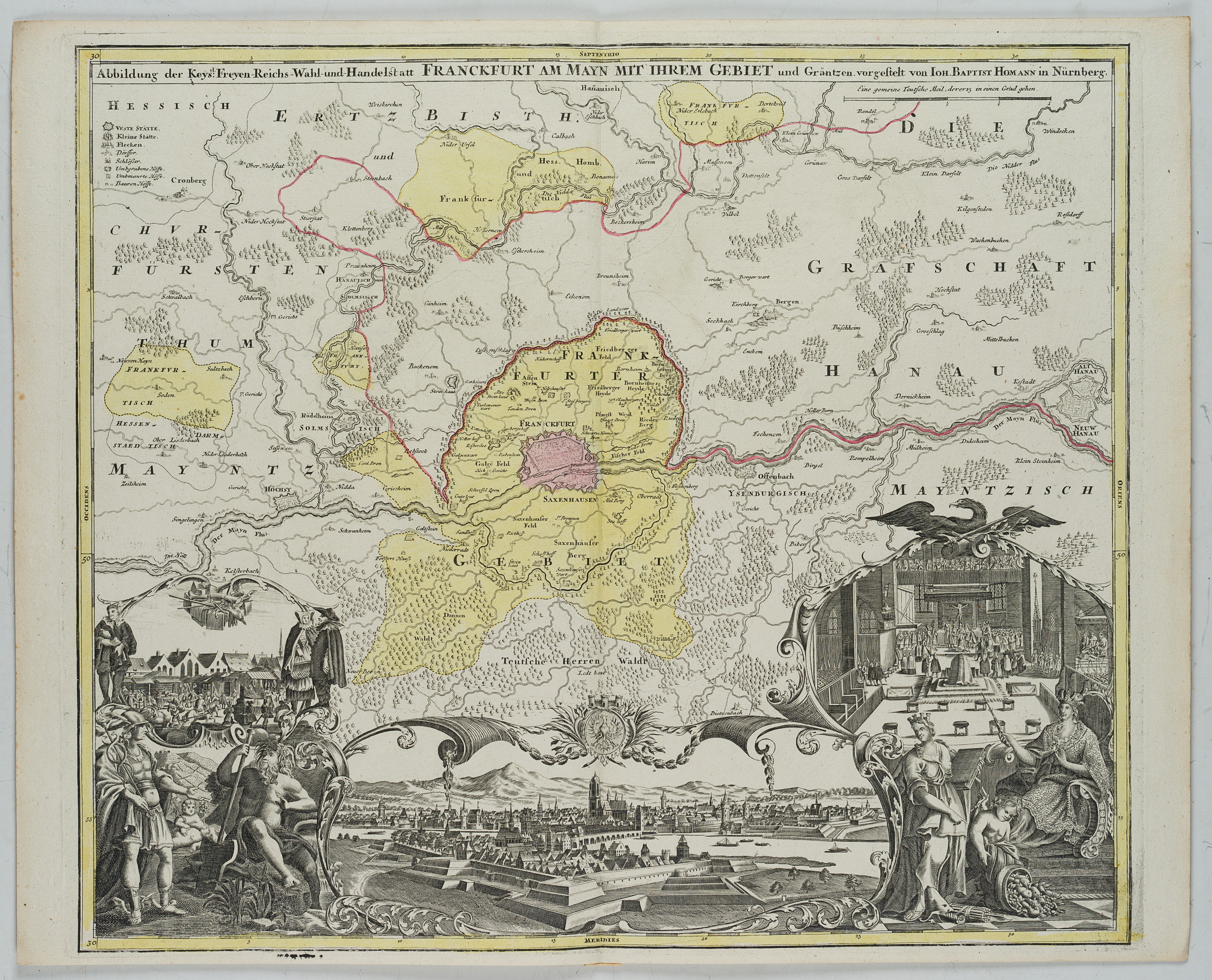
Johann Baptist Homann (1664 Kambach – 1724 Nürnberg), Karte von Frankfurt am Main und Umgebung, um 1720, Kupferstich
- Technik: Handkolorierter Kupferstich und Radierung auf Papier
- Bezeichnung: Oben im Druck bezeichnet: “Abbildung der Keys: Freyen-Reichs-Wahl- und Handelstatt Franckfurt am Mayn mit ihrem Gebiet und Gräntzen vorgestelt von Ioh. Baptist Homann In Nürnberg”.
- Datierung: um 1720
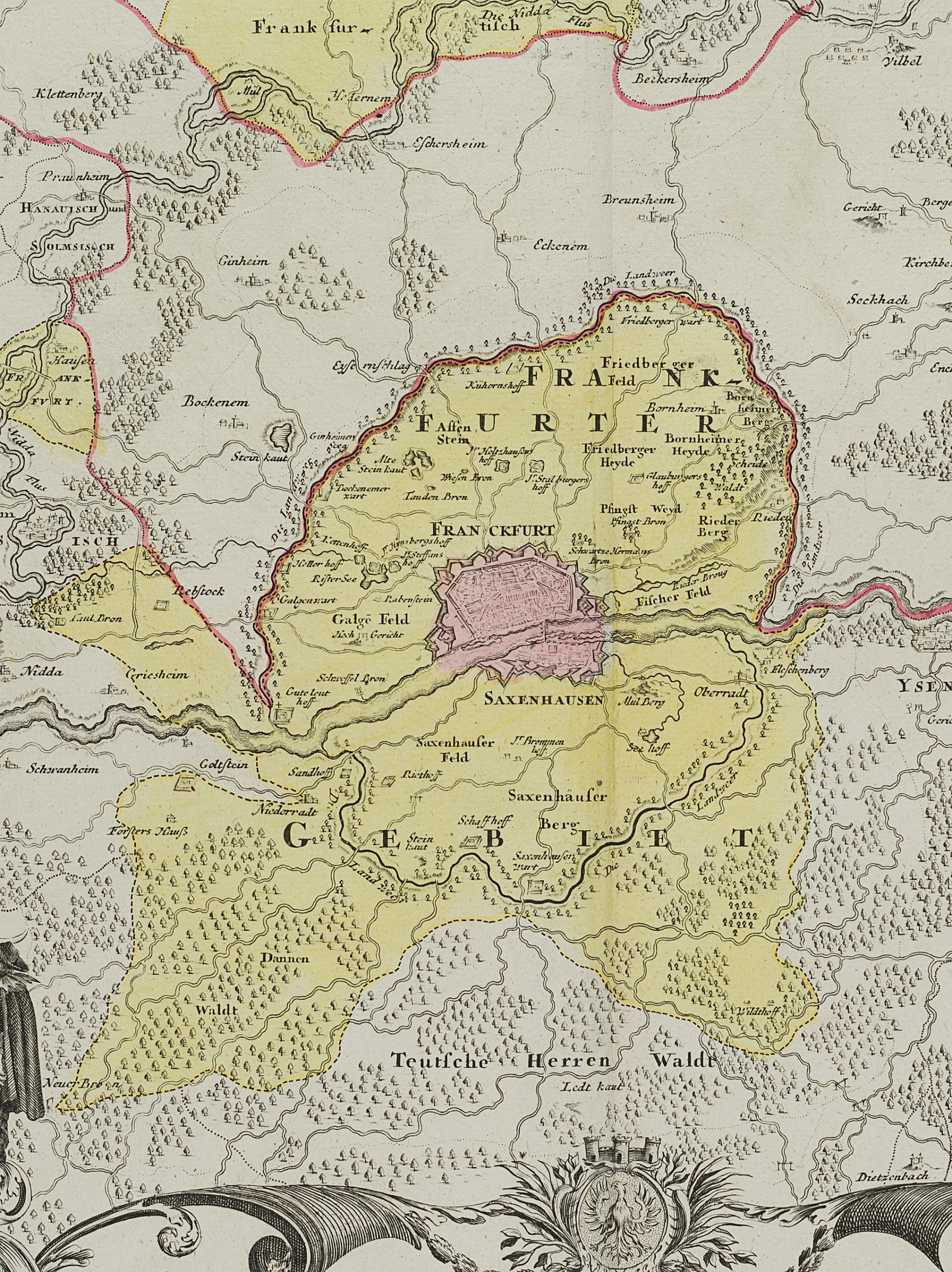
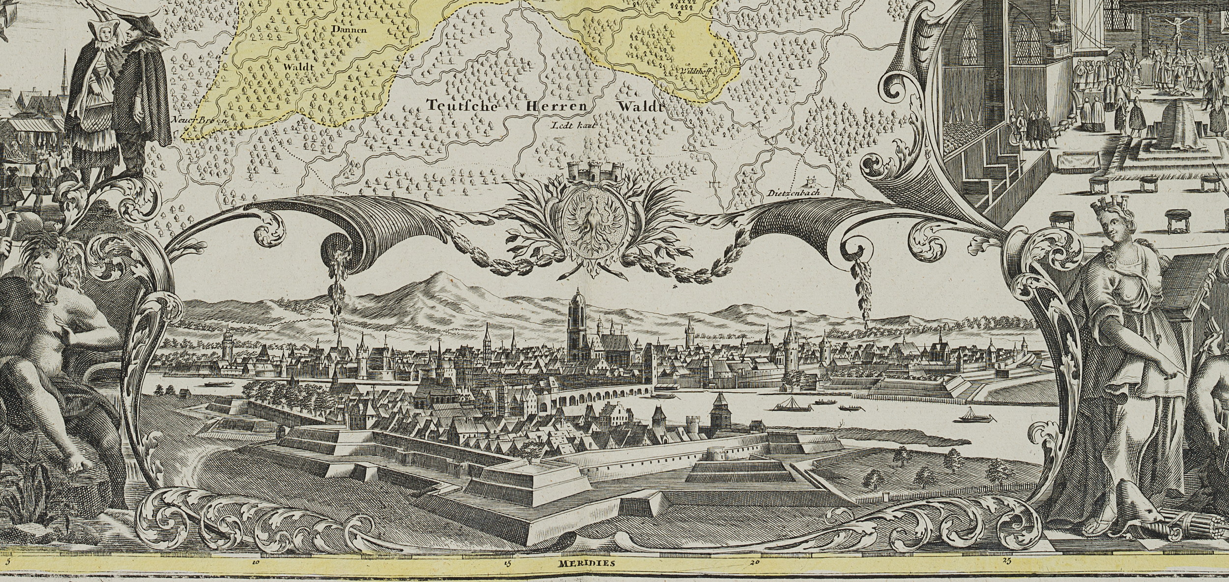
- Beschreibung: Schöne topographsiche Karte der Umgebung von Frankfurt am Main. Unten mit Stadtansicht mit Kaiserdom St. Bartholomäus und Festungswerk. Seitlich Markt oder Messeszene sowie Zeremonie zur Kaiserwahl oder Krönung des Römisch-Deutschen Kaisers.
- Schlagworte: Deutschland, Deutsches Reich, Preußen, Hessen, Frankfurt am Main, Freie Reichsstadt, Kaiserwahl, Heiliges Römisches Reich, Landkarten, Deutschland, Frankfurt am Main, Klassizismus, 1700-1749
- Größe: 51,8 cm x 64,3 cm, Druckplatte: 50,5 cm x 59,4 cm
- Zustand: Sehr guter Zustand. Entlang der Kanten etwas verbräunt und in den Ecken minimal bestoßen. Die rechte obere Blattecke schwach geknickt. Ganzseitig vertikale Mittelfalz. Entlang dieser verso Spuren der alten Montierung.
English Version:
Johann Baptist Homann (1664 Kambach – 1724 Nuremberg), Map of Frankfurt am Main and surrounding area, c. 1720, Copper engraving
- Technique: Hand colored Copper engraving and Etching on Paper
- Inscription: At the upper part inscribed in the printing plate: “Abbildung der Keys: Freyen-Reichs-Wahl- und Handelstatt Franckfurt am Mayn mit ihrem Gebiet und Gräntzen vorgestelt von Ioh. Baptist Homann In Nürnberg”.
- Date: c. 1720
- Description: Beautiful topographical map of the surroundings of Frankfurt am Main. Below with city view with the imperial cathedral St. Bartholomew and fortress. On the side market or fair scene as well as ceremony for the election or coronation of the Roman-German Emperor.
- Keywords: Germany, German Empire, Prussia, Hesse, Frankfurt am Main, Free Imperial City, Imperial Election, Holy Roman Empire, 18th century, Classicism, Maps, Germany,
- Size: 51,8 cm x 64,3 cm (20,4 x 25,3 in), Plate: 50,5 cm x 59,4 cm (19,9 x 23,4 in)
- Condition: Very good condition. Somewhat browned along the edges and minimally bumped at the corners. The upper right corner of the sheet weakly creased. Vertical centrefold on the whole side. Traces of old mounting along the verso.


