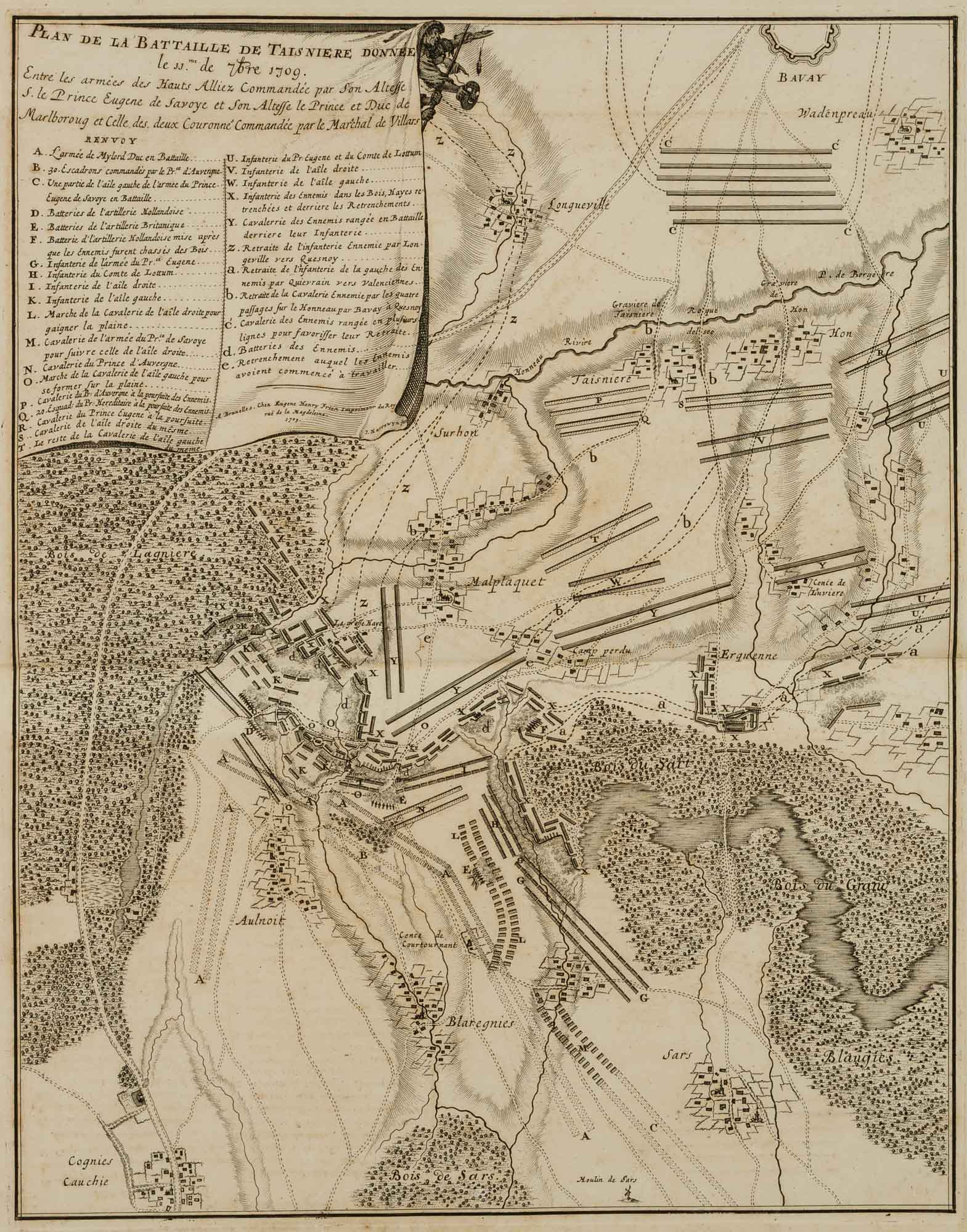
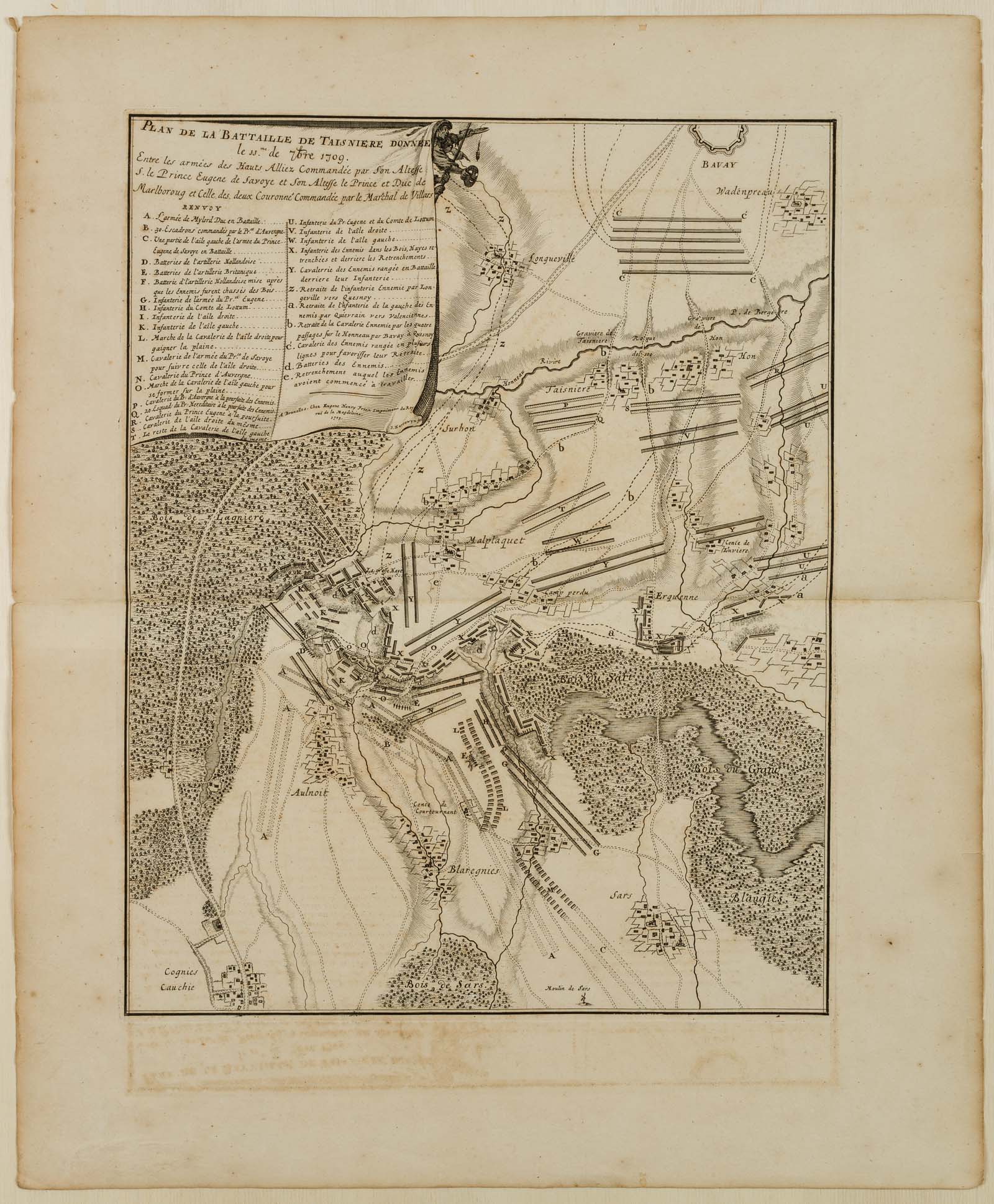
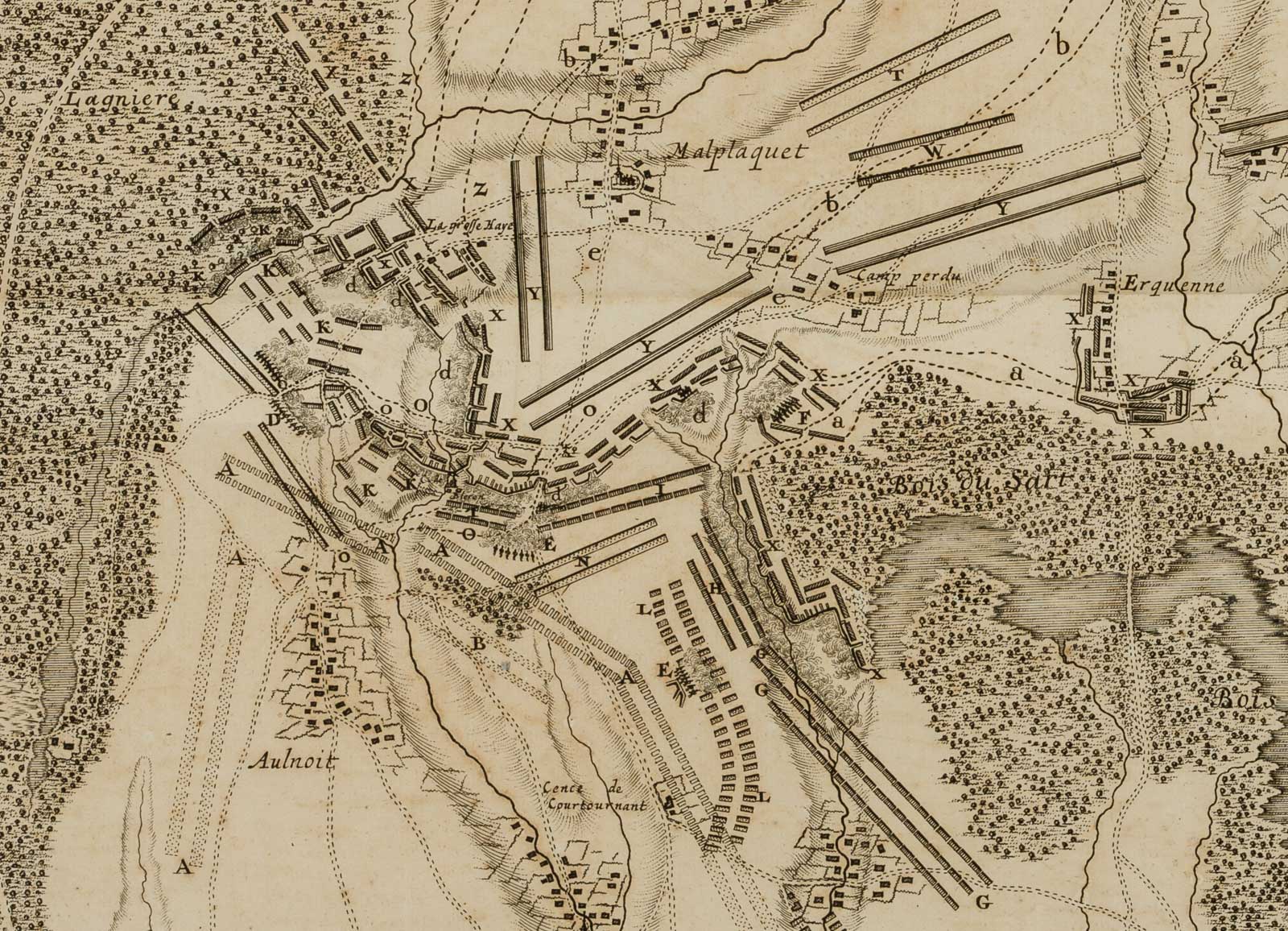
Jacobus Harrewijn (1660 – um 1732 ebd.), Strategische Karte zur Schlacht bei Malplaquet 1709, 18. Jahrhundert, Kupferstich
- Technik: Kupferstich auf Papier
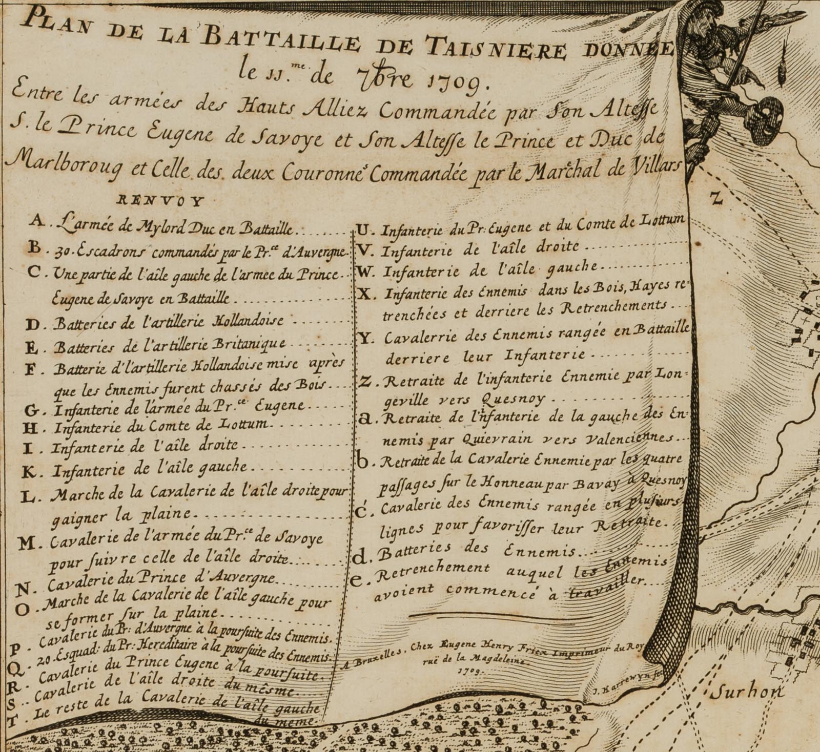
- Bezeichnung: Links oben beschriftet mit “PLAN DE LA BATTAILLE DE TAISNIERE DONNÉE le 11me de 7bre 1709. Entre les armées des Hauts Alliez Commandée par son Altesse S. le prince Eugène de Savoye et Son Altesse le Prince et Duc de Marlboroug et Celle des deux Couronnes Commandée par le Maréchal de Villars”. Rechts darunter signiert mit “J. Harrewyn fec”.
- Datierung: 18. Jahrhundert
- Beschreibung: In der Schlacht bei Malplaquet in der Nähe der nordfranzösischen Stadt Lille besiegte am 11. September 1709 eine alliierte Armee unter Marlborough und Prinz Eugen ein französisches Kontingent während des Spanischen Erbfolgekrieges.
- Schlagworte: Landkarten, Militär, Belgien, Gegenständlich, 1700-1749
- Größe: 59,5 cm x 49,5 cm, Druckplatte: 46,3 cm x 36,4 cm, Darstellung: 45,5 cm x 36,0 cm
- Zustand: Guter Zustand. Das Blatt hat sich altersgemäß verfärbt. Die Blattkanten tragen einen bräunlichen Rand. Stellenweise sind Flecken und Stockflecken erkennbar. Das Blatt wurde einfach gefaltet in einem Buch befestigt. Davon zeugt die waagerechte Knickfalte über die Mitte des Blattes sowie die rückseitige Klebespur. Durch die Faltung hat die obere Blattseite auf die untere abgefärbt. Am Blattrand links unten sind Bereibungsspuren wahrzunehmen. Die Ecken tragen teilweise minimale Fehlstellen. Mit kurzen Einrissen entlang des rechten Blattrands. .
English Version:
Jacobus Harrewijn (1660 – around 1732 ibid.), Strategic map of the Battle of Malplaquet 1709, 18th century, Copper engraving
- Technique: Copper engraving on Paper
- Inscription: Links oben beschriftet mit “PLAN DE LA BATTAILLE DE TAISNIERE DONNÉE le 11me de 7bre 1709. Between the armies of the Hauts Alliez commanded by His Highness Prince Eugene de Savoye and His Highness the Prince and Duke of Marlboroug and that of the two Crowns commanded by Marshal de Villars”. Rechts darunter signiert mit “J. Harrewyn fec”.
- Date: 18th century
- Description: In the Battle of Malplaquet near the northern French city of Lille, an allied army under Marlborough and Prince Eugene defeated a French contingent during the War of the Spanish Succession on 11 September 1709.
- Keywords: 18th century, Figurative, Maps, Belgium,
- Size: 59,5 cm x 49,5 cm (23,4 x 19,5 in), Plate: 46,3 cm x 36,4 cm (18,2 x 14,3 in), Depiction: 45,5 cm x 36,0 cm (17,9 x 14,2 in)
- Condition: Good condition. The sheet has discoloured according to its age. The edges of the sheet have a brownish margin. Stains and foxing are visible in places. The sheet was simply folded and fixed in a book. This is evidenced by the horizontal crease across the centre of the sheet as well as the trace of glue on the reverse. Due to the folding the upper side of the sheet has rubbed off onto the lower side. Traces of rubbing are visible at the lower left margin. The corners partly show minimal missing parts. With short tears along the right margin.

