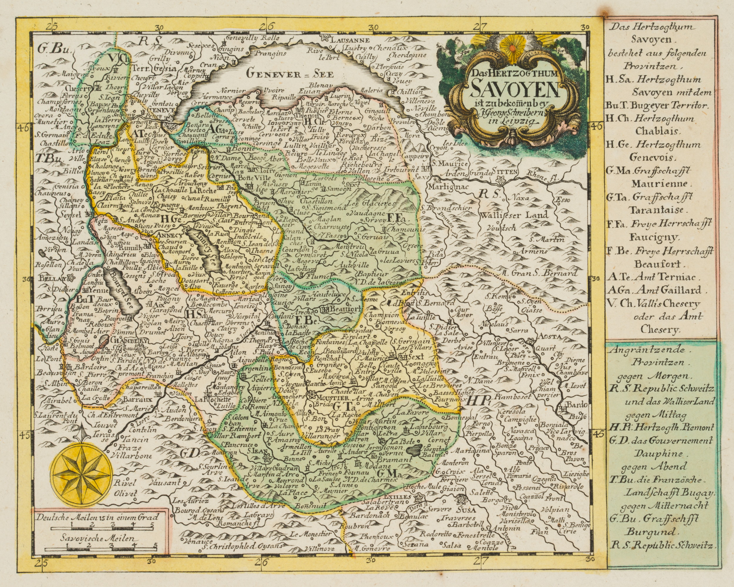
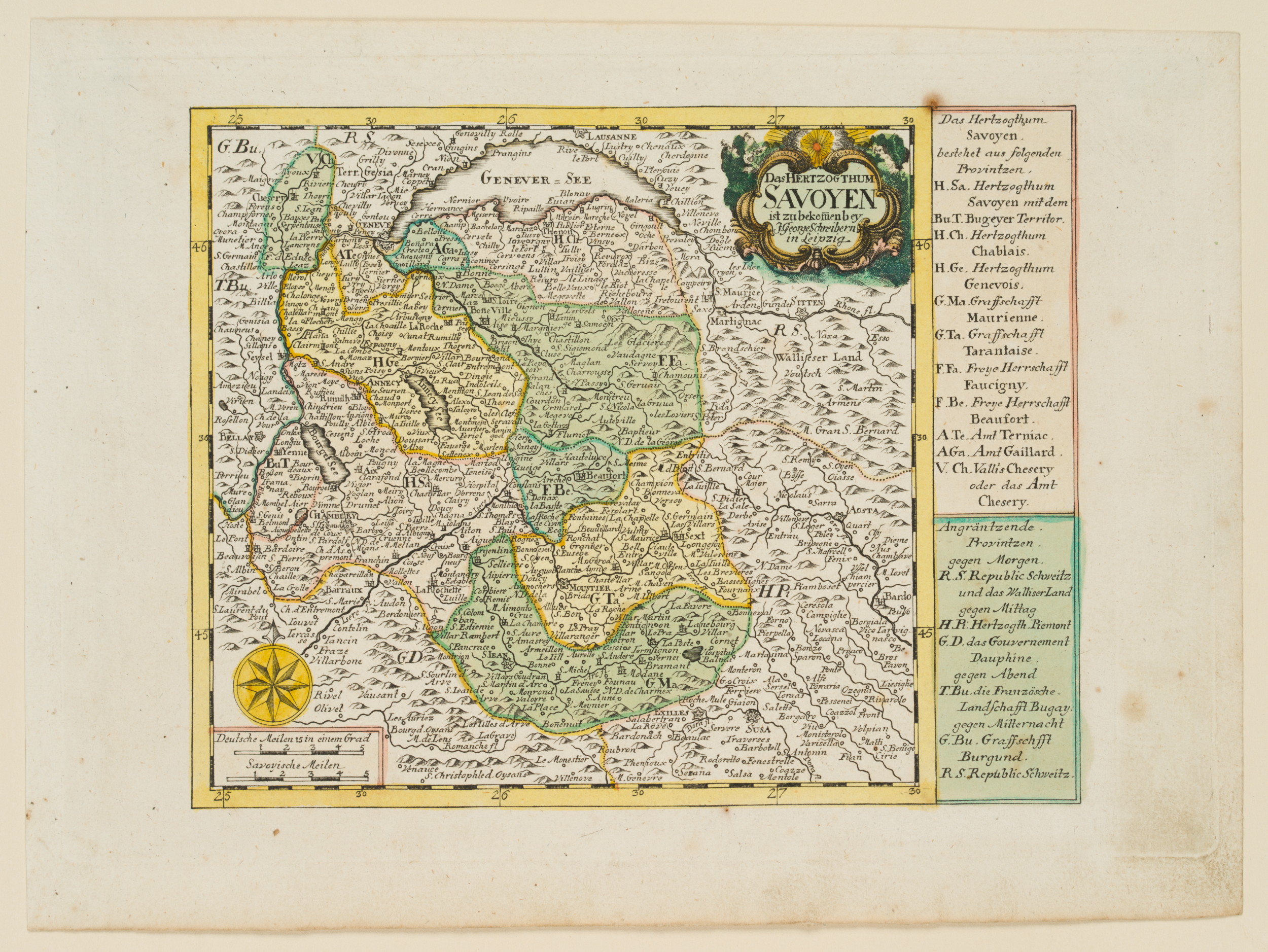
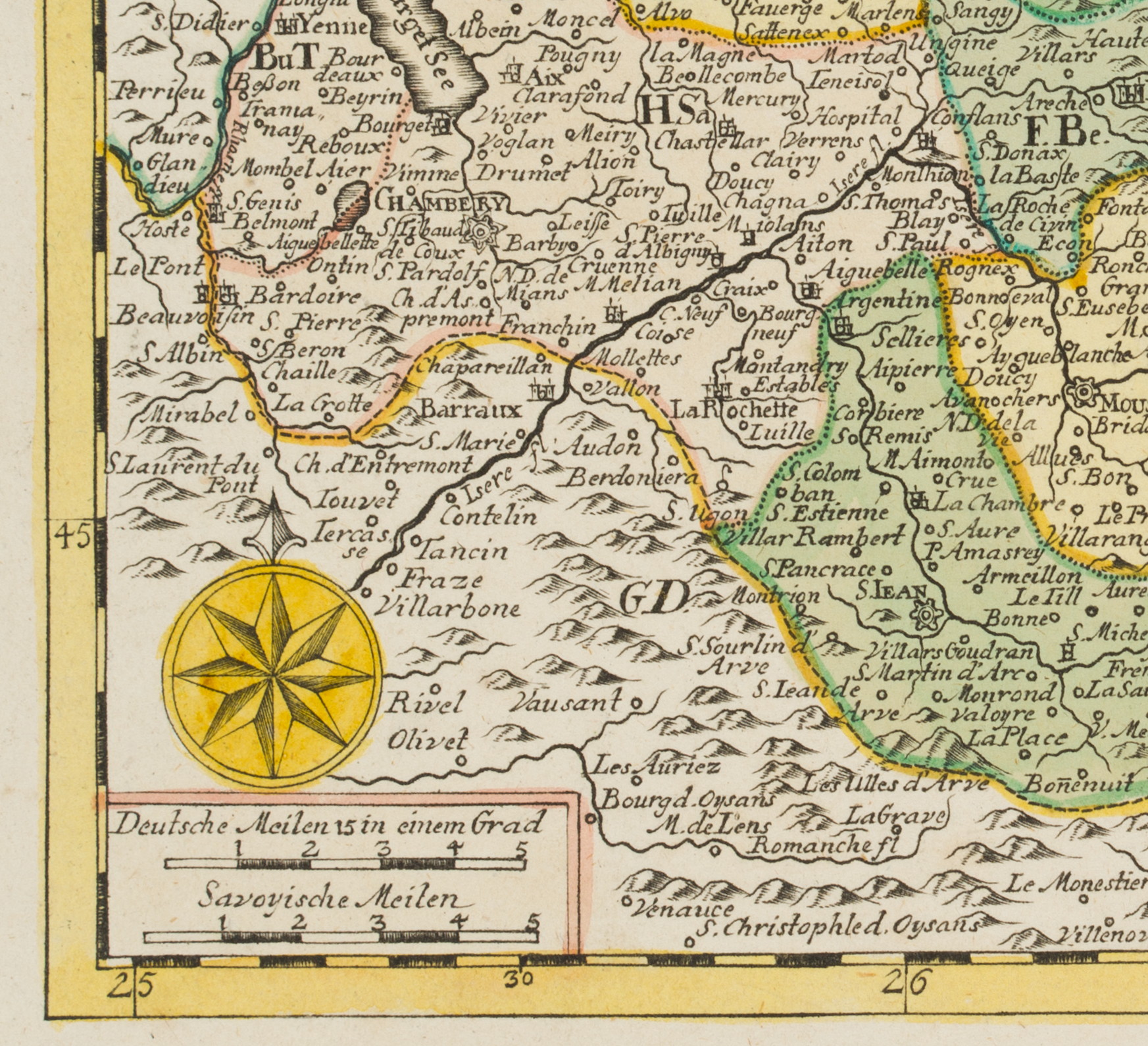
Johann Georg Schreiber (1676 Spremberg (Nieder-Lausitz) – 1750 Leipzig), Karte über das Herzogtum Savoyen, um 1750, Kupferstich
- Technik: Handkolorierter Kupferstich auf Papier, montiert auf Papier
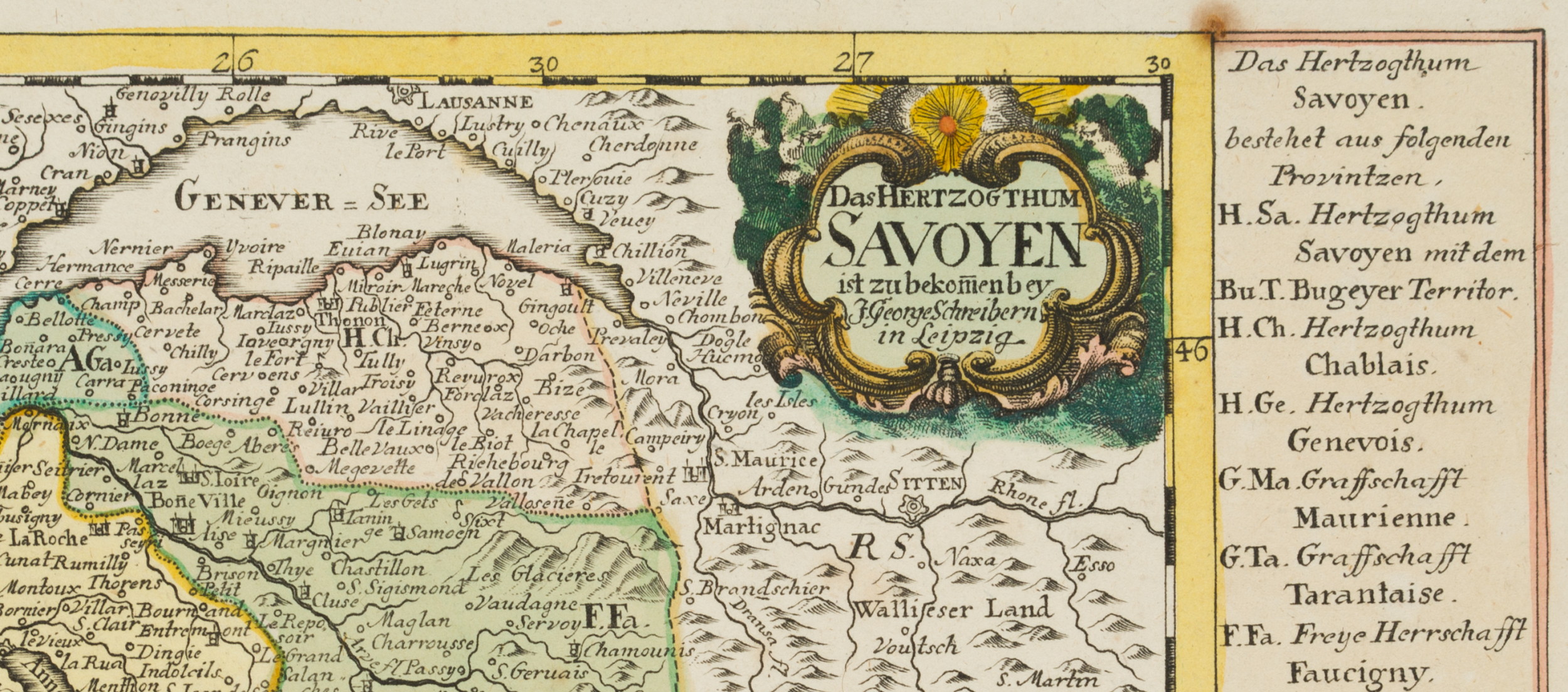
- Bezeichnung: Oben rechts im Druck bezeichnet: “Das Herzogthum Savoyen ist zu bekomen bey J. Georg Schreibern in Leipzig”.
- Datierung: um 1750
- Beschreibung: Topographische Karte des Herzogtums in der Schweiz.
- Schlagworte: Herrschaft, Herzog, Ländereien, Topographie, Karte, Landkarte, Landkarten, Schweiz, Klassizismus, 1750-1799
- Größe: 21,3 cm x 28,5 cm, Druckplatte: 18,8 cm x 27,0 cm, Darstellung: 16,4 cm x 20,8 cm
- Zustand: Guter Zustand. Auf dem Blattrand etwas verschmutzt. Vereinzelt sind Stock- und Fettflecken erkennbar. Auf dem Blattrand links deutliche Wellungen des Papiers, vermutlich durch rückseitige Montierung.
English Version:
Johann Georg Schreiber (1676 Spremberg (Lower Lausitz) – 1750 Leipzig), Map of the Duchy of Savoy, c. 1750, Copper engraving
- Technique: Hand colored Copper engraving on Paper, mounted on Paper
- Inscription: Upper right inscribed in the printing plate: “Das Herzogthum Savoyen ist zu bekomen bey J. Georg Schreibern in Leipzig”.
- Date: c. 1750
- Description: Topographic map of the Duchy in Switzerland.
- Keywords: Lordship, Duke, Lands, Topography, Map, Map, 18th century, Classicism, Maps, Switzerland,
- Size: 21,3 cm x 28,5 cm (8,4 x 11,2 in), Plate: 18,8 cm x 27,0 cm (7,4 x 10,6 in), Depiction: 16,4 cm x 20,8 cm (6,5 x 8,2 in)
- Condition: Good condition. Somewhat soiled on the sheet margin. Sporadic foxing and grease spots visible. On the left margin of the sheet distinct waviness of the paper, probably due to mounting on the reverse.

