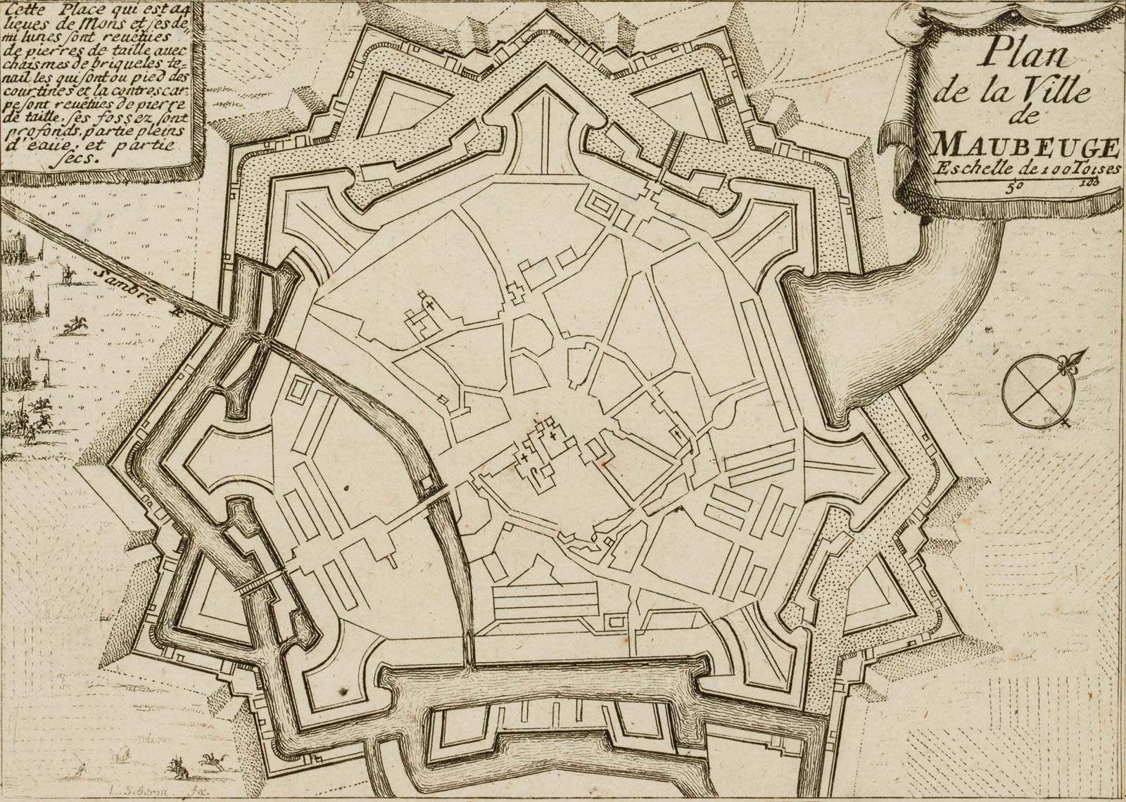
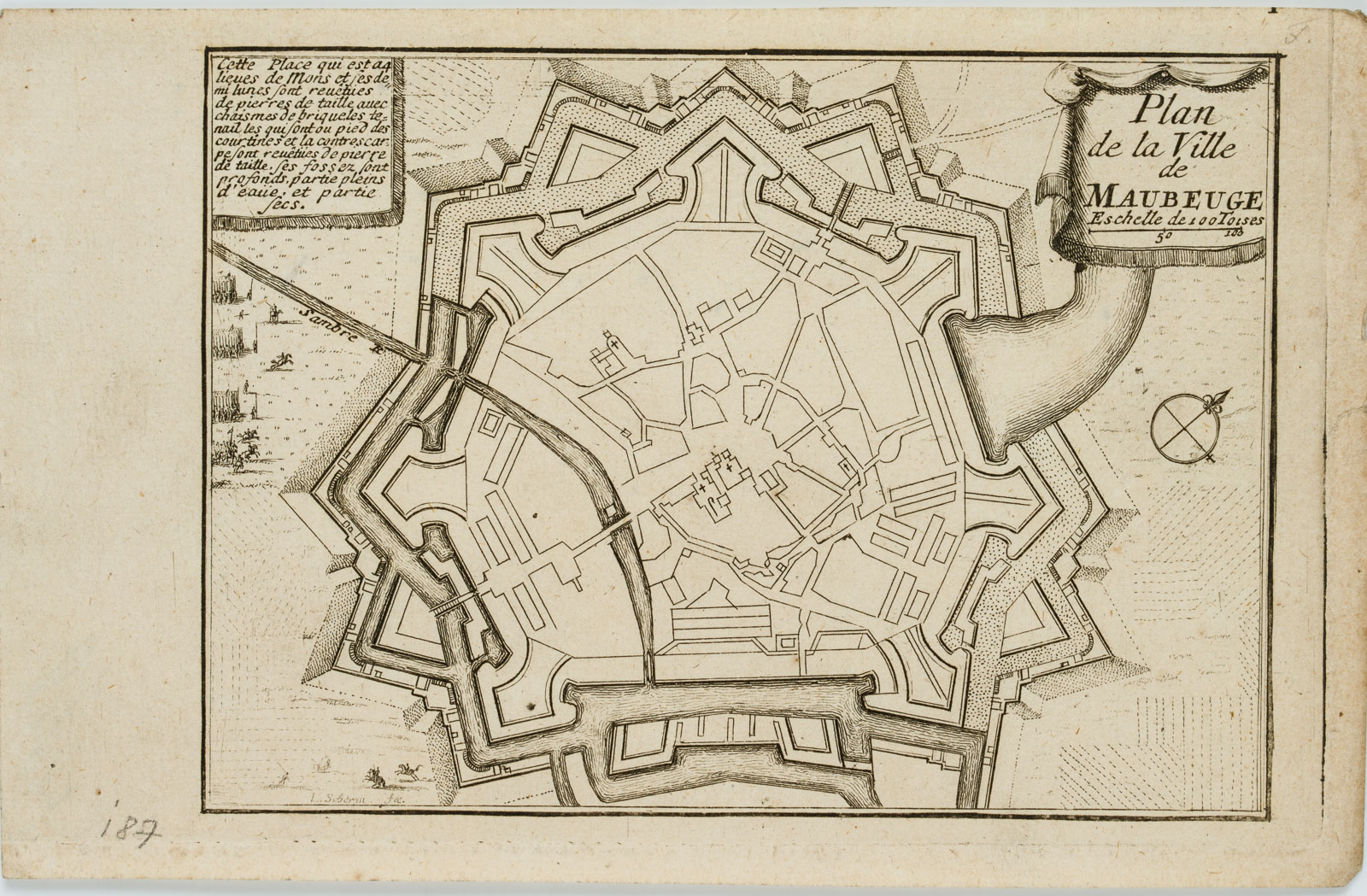
L. Schörm (17. Jahrhundert), “Plan de la Ville de MAUBEUGE”, 1680, Kupferstich
- Technik: Kupferstich auf Büttenpapier
- Bezeichnung: Unten links in der Darstellung innerhalb der Druckplatte signiert: “L. Schörm fec.”. Maubeuge ist im Département Nord in der Region Hauts-de-France gelegen; auf der Karte zu sehen ist außerdem der Fluss Sambre. Als eine alte Stadtfeste ist Maubeuge eine alte Bastionsbefestigung, die als Zentrum eines umfassten Lagers mit ca. 25 Kilometer Durchmesser diente; verso nachträglich bezeichnet mit Sammlernummer “6751”.
Aus einem berühmten Antiquariat aus München. - Datierung: 1680
- Beschreibung: Diese rare, dekorative Karte der französischen Stadt Maubeuge ist in der Kartusche rechts oben innerhalb der Abbildung betitelt: “Plan de la Ville de MAUBEUGE”.
- Schlagworte: Landkarten, Stadtbilder, Frankreich, Romantik, 1650-1699
- Größe: 12,4 cm x 19,5 cm, Darstellung: 10,9 cm x 15,2 cm
- Zustand: Guter Zustand. altersbedingt minimal gebräunt, an der rechten Blattkante leicht bestoßen, mit Wasserzeichen.
English Version:
L. Schörm (17th century), “Map of the City of MAUBEUGE, 1680, Copper engraving
- Technique: Copper engraving on
- Inscription: Signed lower left in the image within the printing plate: “L. Schörm fec.”. Maubeuge is located in the Département Nord in the Hauts-de-France region; the map also shows the river Sambre. As an old town fortress, Maubeuge is an old bastion fortification that served as the centre of an encircled camp about 25 kilometres in diameter; subsequently inscribed on the verso with collector’s number “6751”.
From a famous antiquarian bookshop in Munich. - Date: 1680
- Description: This rare, decorative map of the French town of Maubeuge is titled in the cartouche at the upper right within the image: “Plan de la Ville de MAUBEUGE”.
- Keywords: 17th century, Romanticism, Maps, France,
- Size: 12,4 cm x 19,5 cm (4,9 x 7,7 in), Depiction: 10,9 cm x 15,2 cm (4,3 x 6 in)
- Condition: Good condition. Minimally browned due to its age, slightly bumped at the right edge of the sheet, with watermark.

