Unbekannt (18. Jahrhundert), Landkarte, Gegend in Belgien um Hurtebise, Frankreich, Probedr.d.., 18. Jahrhundert, Kupferstich
- Technik: Kupferstich auf Büttenpapier
- Datierung: 18. Jahrhundert
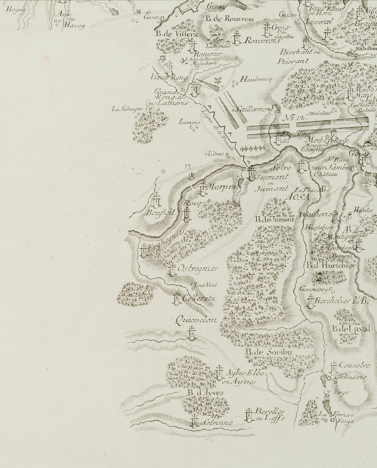
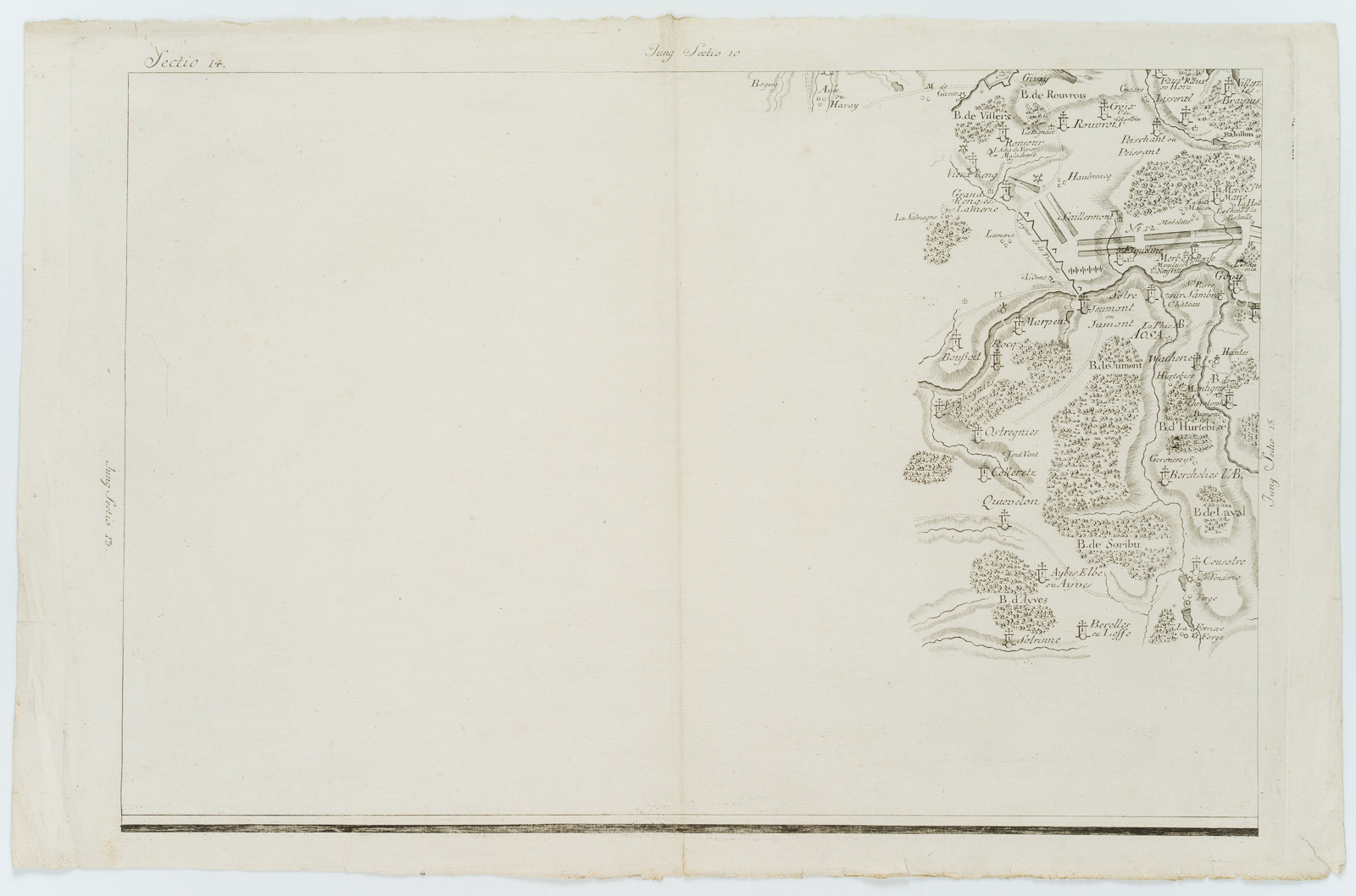
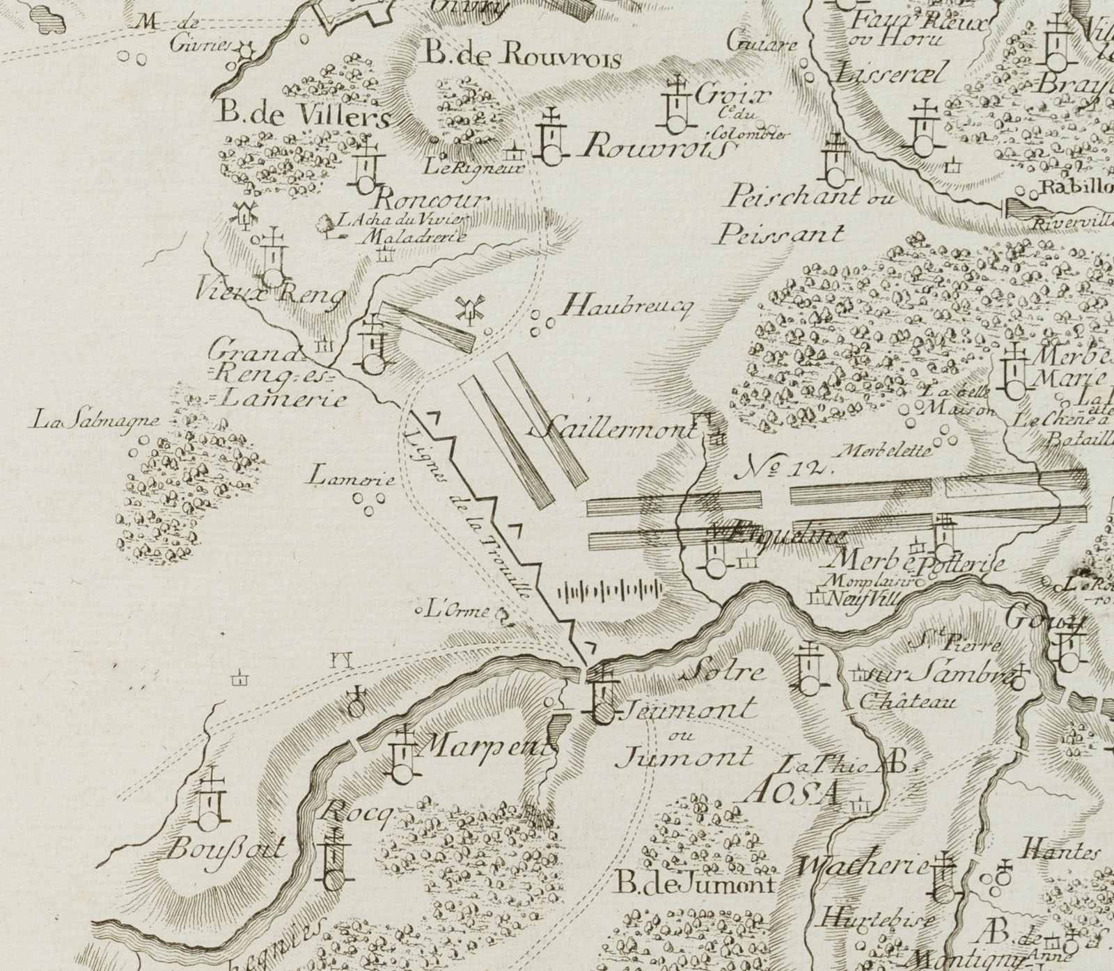
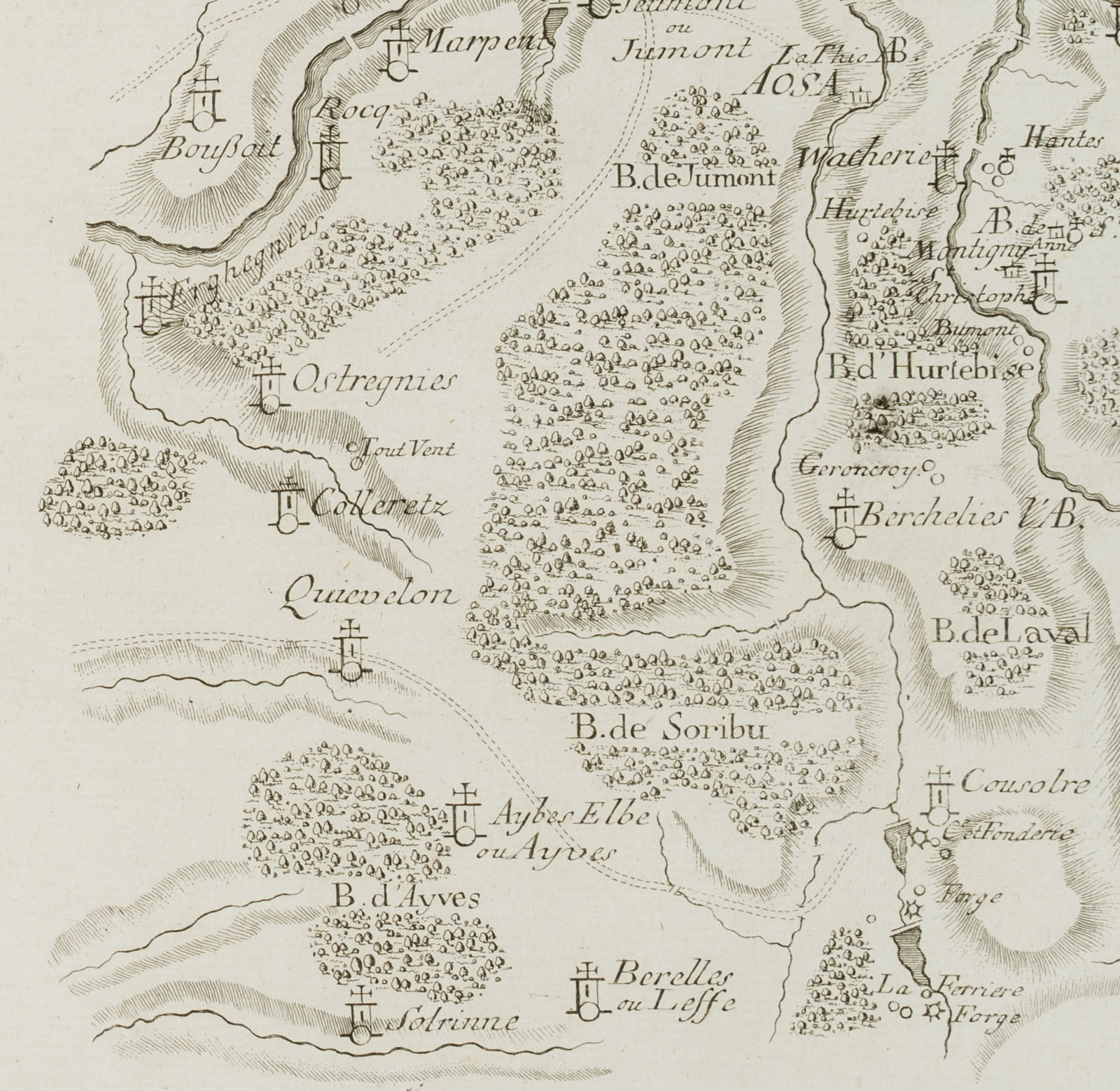
- Beschreibung: Im Rand bezeichnet mit „Sectio 14“, „Jung Sectio 10“, „Jung Sectio 13“. Der Probedruck zeigt in Vogelschau die Region im Norden Frankreichs um Marpent an der Grenze zu Belgien, u.a. mit den Nachbargemeinden Jeumont im Osten und Boussois im Westen. Im Süden umfasst die Karte das Gebiet bis Bérelles, die Gemeinde grenzt im Norden an Aibes und im Nordosten an Cousolre sowie im Westen an Solrinnes. Aus einem berühmten Antiquariat in München. | Wasserzeichen: SONNTAG
- Schlagworte: Landkarten, Landschaft, Frankreich, Gegenständlich, 1700-1749
- Größe: 35,8 cm x 56,0 cm, Druckplatte: 34,8 cm x 51,5 cm, Darstellung: 31,3 cm x 47,7 cm
- Zustand: Guter Zustand. Die Karte ist altersgemäß gebräunt und wurde vertikal einmal gefaltet; mit Knickspuren; im linken Bereich der Darstellung ist das Papier an zwei Stellen minimal ausgedünnt, die unteren Blattecken wurden verso geklebt.
English Version:
Unknown (18th century), Map, area in Belgium around Hurtebise, France, Probedrd, 18th century, Copper engraving
- Technique: Copper engraving on
- Date: 18th century
- Description: Marked in the margin „Sectio 14“, „Jung Sectio 10“, „Jung Sectio 13“. The proof shows in bird’s eye view the region in the north of France around Marpent at the border to Belgium, among others with the neighbouring municipalities Jeumont in the east and Boussois in the west. In the south, the map covers the area up to Bérelles, the municipality borders Aibes in the north and Cousolre in the northeast and Solrinnes in the west. From a famous antiquarian bookshop in Munich. | Watermark: SONNTAG
- Keywords: 18th century, Figurative, Maps, France,
- Size: 35,8 cm x 56,0 cm (14,1 x 22 in), Plate: 34,8 cm x 51,5 cm (13,7 x 20,3 in), Depiction: 31,3 cm x 47,7 cm (12,3 x 18,8 in)
- Condition: Good condition. The map is browned due to its age and has been folded once vertically; with crease marks; the paper is minimally thinned in two places on the left side of the image, the lower corners of the sheet have been glued on the verso.