
Unbekannt (19. Jahrhundert), Historische Stadtkarte von Jerusalem, 19. Jahrhundert, Aquatinta
- Technik: Handkolorierte Aquatinta auf Papier
- Datierung: 19. Jahrhundert
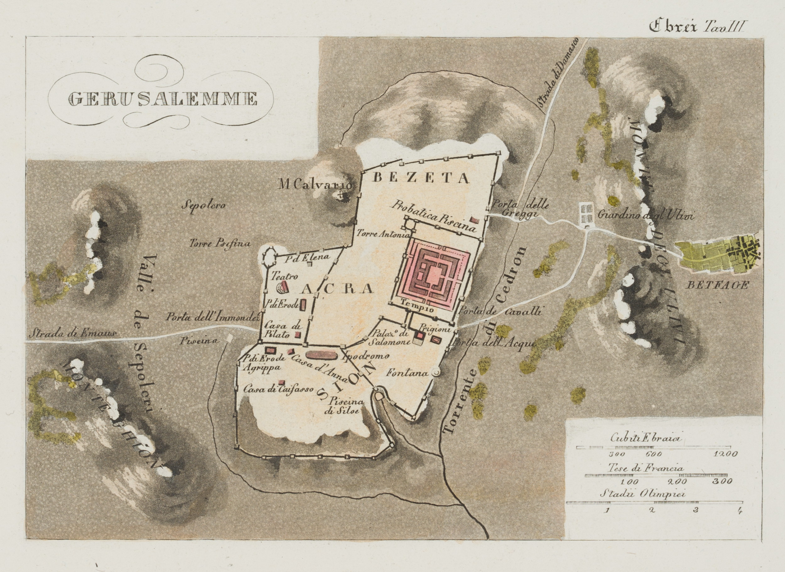
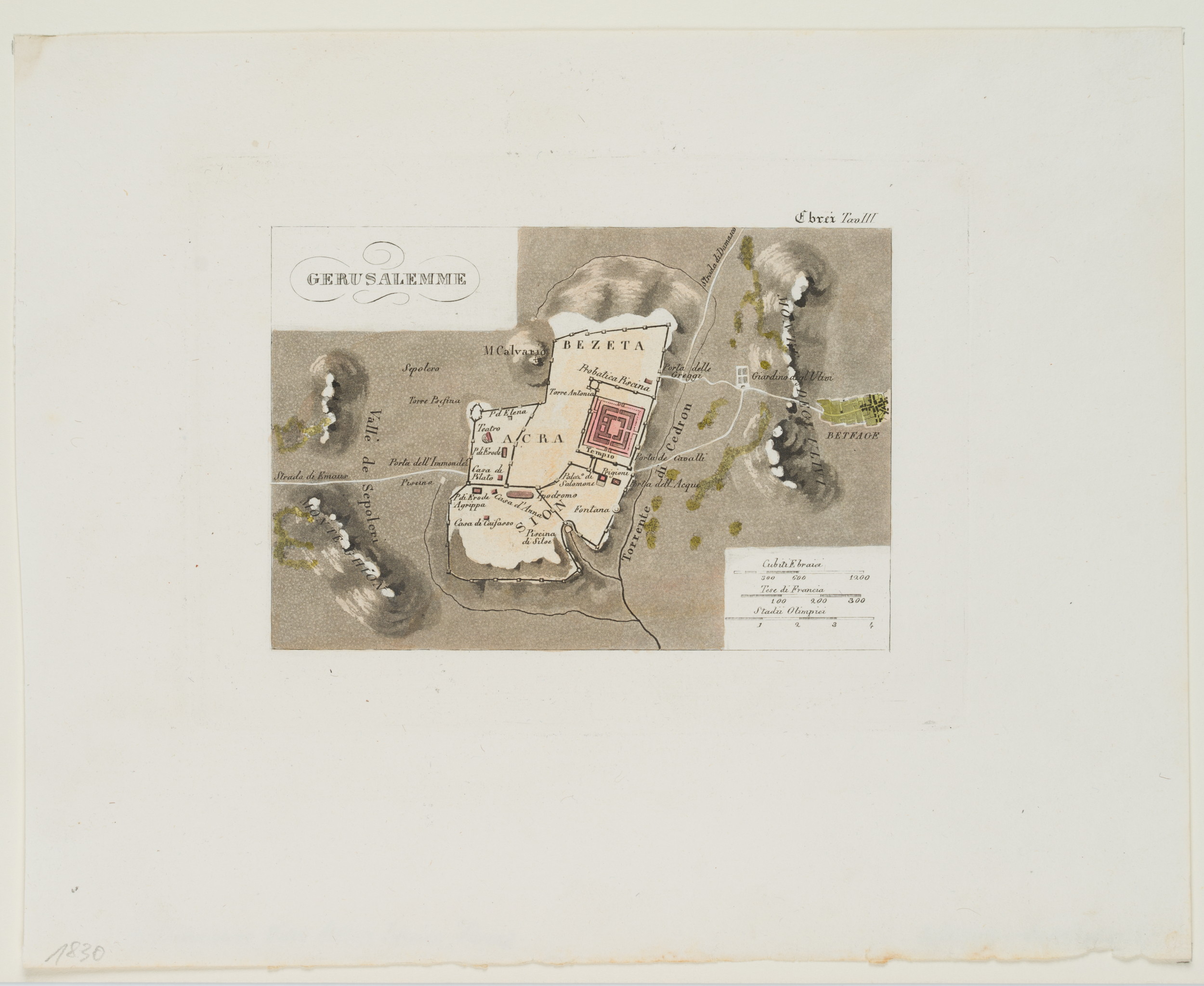
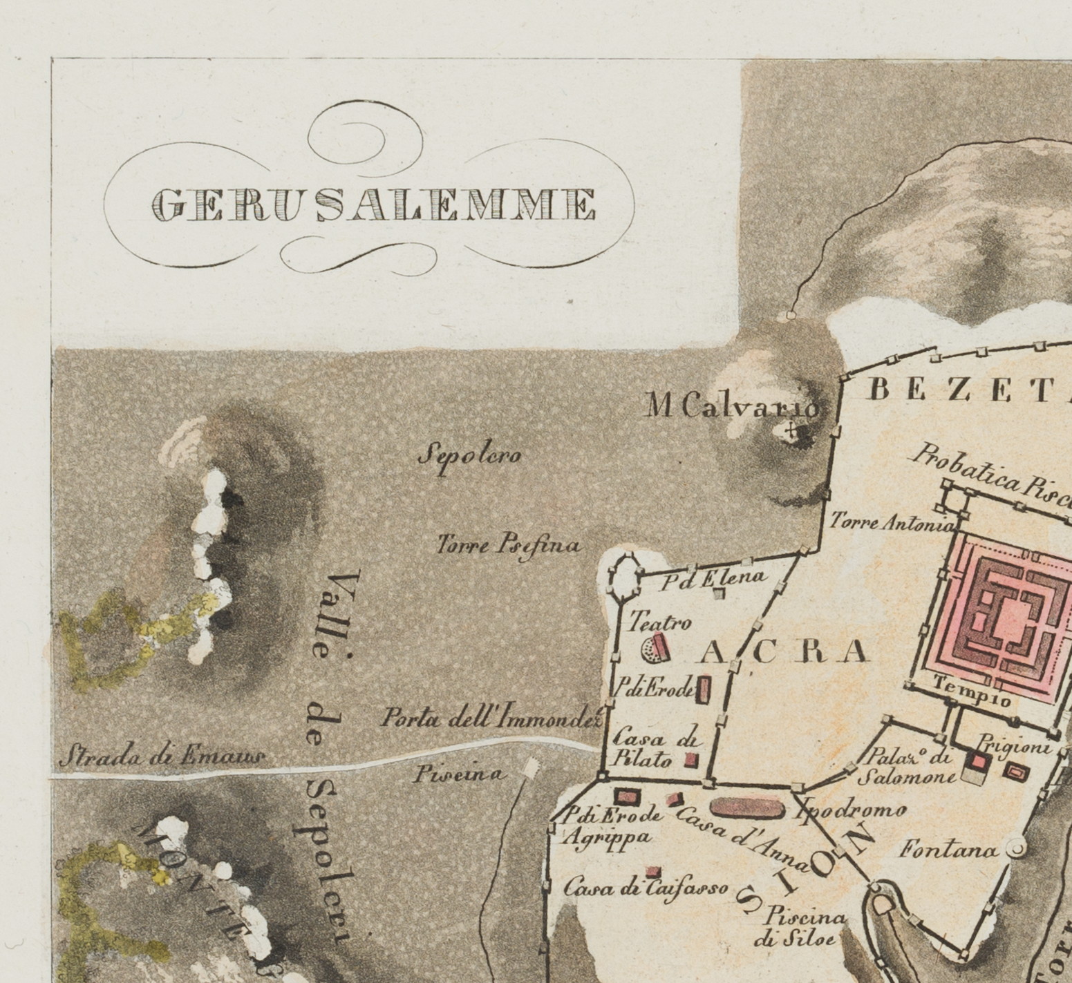
- Beschreibung: Historischer Stadtplan von Jerusalem mit Hervorhebung der Bezirke und des heiligen Tempels, sowie mit topographischer Darstellung der Umgegend.
- Quelle: Leonardo Cacciatore ( – ) Nuovo Atlante istorico, 1831-1833 | Buch, Landschaft
- Schlagworte: Israel, Jerusalem, Heiliges Land, Christentum, Islam, Judentum, Religion, Topographie, Geographie, Landkarten, Israel, Romantik, 1800-1849
- Größe: 22,6 cm x 28,2 cm, Druckplatte: 14,0 cm x 18,8 cm, Darstellung: 10,2 cm x 15,0 cm
- Zustand: Sehr guter Zustand. Entlang der unteren Blattkante unbeschnitten und minimal bestoßen oder eingerissen.
English Version:
Unknown (19th century), Historical map of Jerusalem, 19th century, Aquatint
- Technique: Hand colored Aquatint on Paper
- Date: 19th century
- Description: Historical map of Jerusalem with highlighting of the districts and the Holy Temple, as well as topographical representation of the surrounding area.
- Source: Leonardo Cacciatore ( – ) Nuovo Atlante istorico, 1831-1833 | Book, Landscape
- Keywords: Israel, Jerusalem, Holy Land, Christianity, Islam, Judaism, Religion, Topography, Geography, 19th century, Romanticism, Maps, Israel,
- Size: 22,6 cm x 28,2 cm (8,9 x 11,1 in), Plate: 14,0 cm x 18,8 cm (5,5 x 7,4 in), Depiction: 10,2 cm x 15,0 cm (4 x 5,9 in)
- Condition: Very good condition. Untrimmed along the lower edge of the sheet and minimally bumped or torn.