Unbekannt (19. Jahrhundert), Karte: frz. Département Sarthe, 1856, Stahlstich
- Technik: Stahlstich auf Papier
- Bezeichnung: Unterhalb der Darstellung befinden sich in der Druckplatte Verweise auf Verlag und Künstler.
- Datierung: 1856
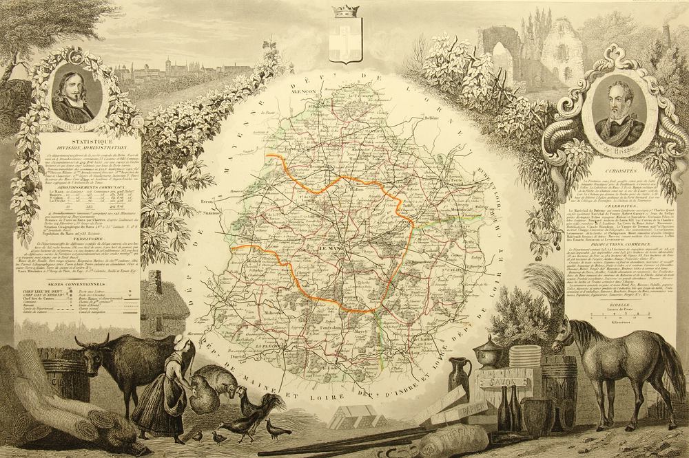
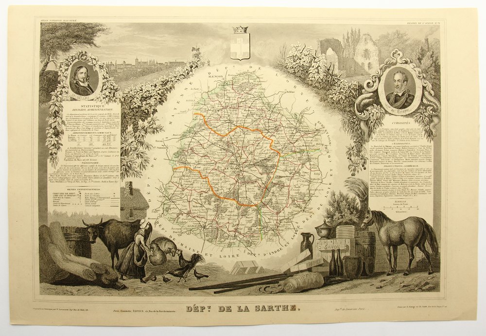
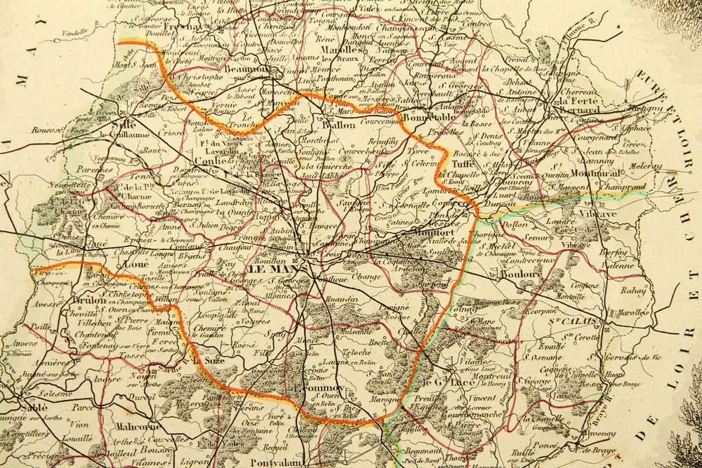
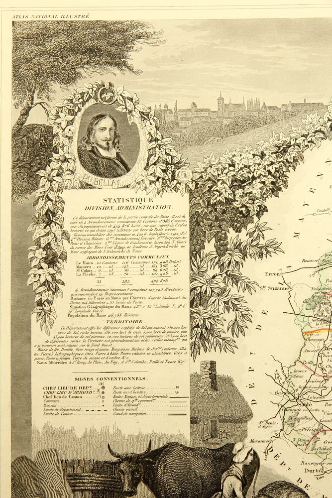
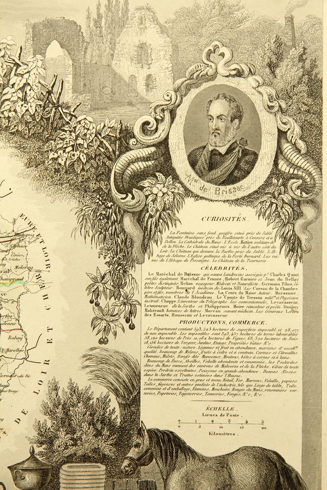
- Beschreibung: Stahlstich auf Papier mit farbig nachgezogenen Grenzlinien. Nach dem Kartograph Victor Levasseur gestochen von „E.George et Ch. Smith“ und gedruckt bei Lemercier in Paris. Das Blatt stammt aus demAtlas National Illustré. Région de l’ouestNo. 71. Um die detaillierte topographische Karte befinden sich Darstellungen einer Stadt, einer Ruine, einer Bauernmagd mit Tieren sowie eines Pferdes mit regionstypischen Handelswaren. Seitlich sind Textfelder mit Informationen und Statistiken zum Département abgedruckt.
- Schlagworte: Landkarten, Frankreich, Romantik, 1850-1899
- Größe: 32,7 cm x 48,2 cm, Darstellung: 27,7 cm x 41,2 cm
- Zustand: Sehr guter Zustand. Sehr guter Zustand.Insbesondere entlang der Blattränder sind schwache Verfärbungen zu erkennen. Die Blattecken sind minimal bestoßen.
English Version:
Unknown (19th century), Karte: frz Department Sarthe, 1856, Steel engraving
- Technique: Steel engraving on Paper
- Inscription: Below the depiction, there are references to the publisher and artist in the printing plate.
- Date: 1856
- Description: Steel engraving on paper with coloured traced border lines. Engraved by „E.George et Ch. Smith“ after the cartographer Victor Levasseur and printed by Lemercier in Paris. The sheet is part of the Atlas National Illustr. Rgion de l’ouestNo. 71. Around the detailed topographic map are depictions of a town, a ruin, a farmer’s maid with animals as well as a horse with trade goods typical for the region. Text fields with information and statistics on the department are printed on the sides.
- Keywords: , 19th century, Romanticism, Maps, France,
- Size: 32,7 cm x 48,2 cm (12,9 x 19 in), Depiction: 27,7 cm x 41,2 cm (10,9 x 16,2 in)
- Condition: Very good condition. Very good condition.There is faint discolouration especially along the edges of the sheet. The corners of the sheet are minimally bumped.