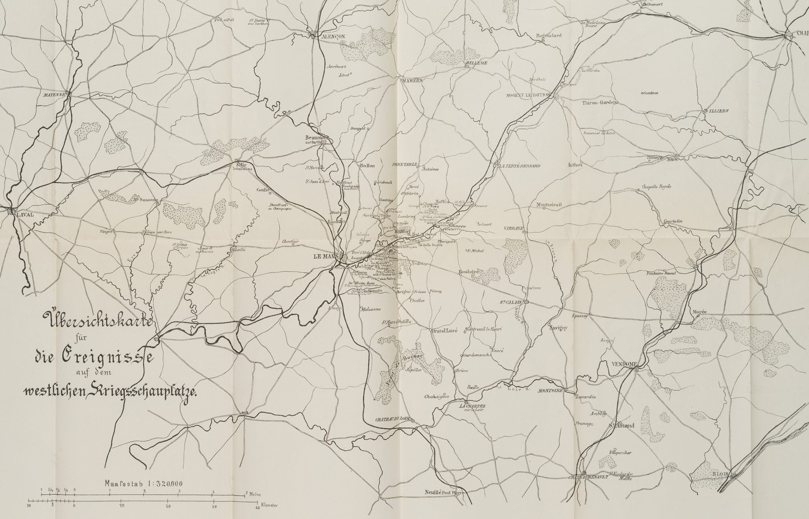
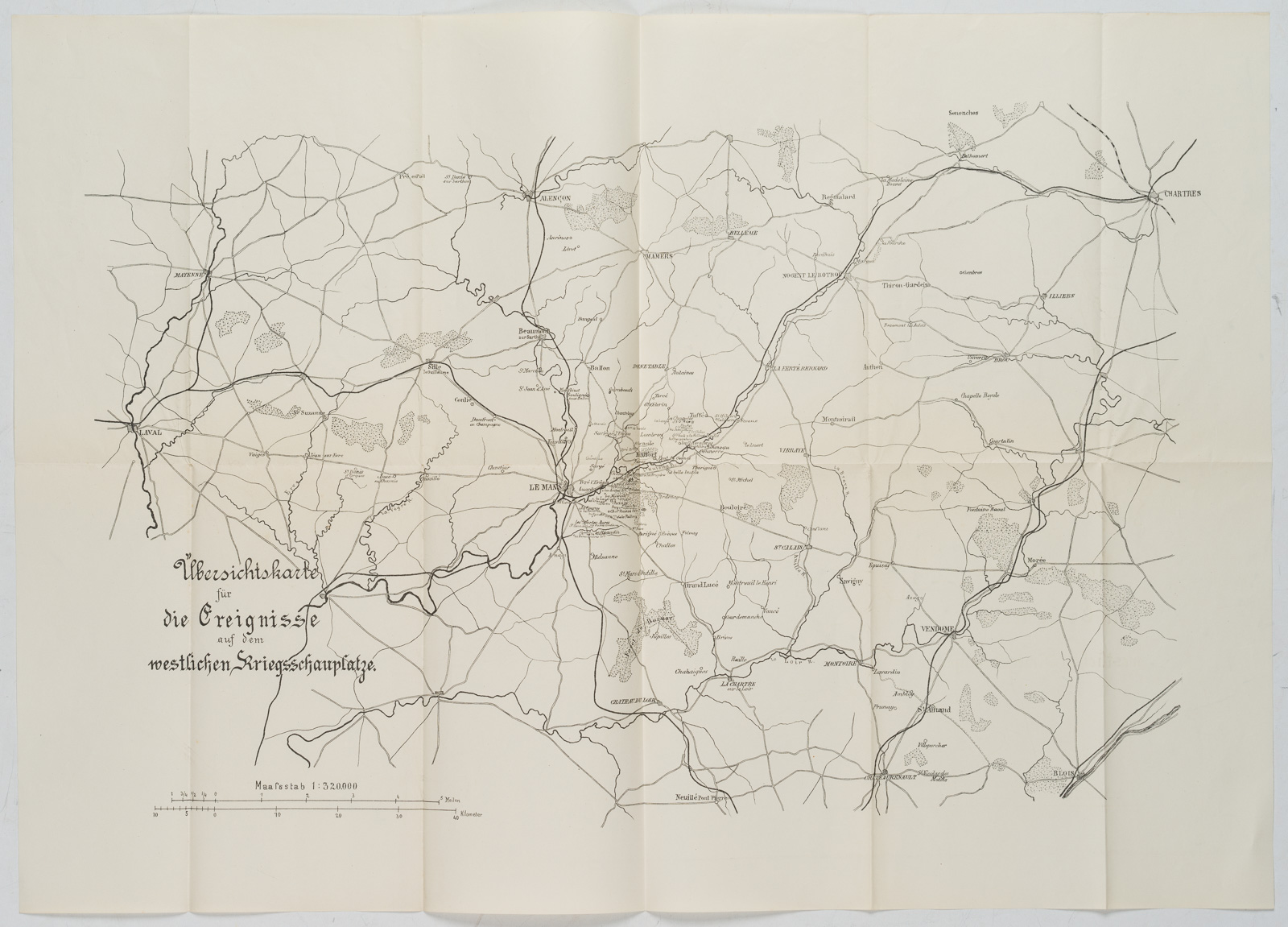
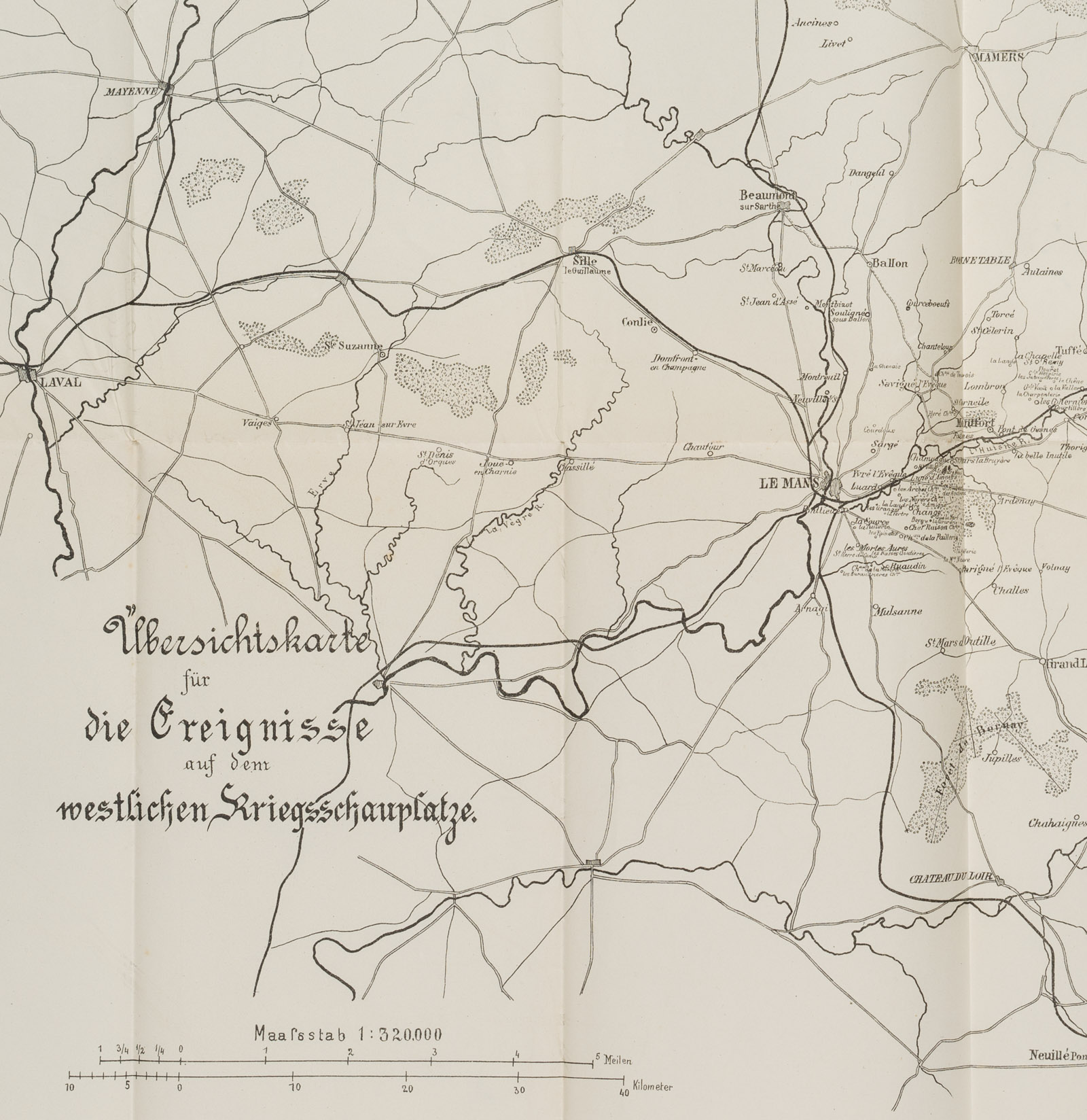
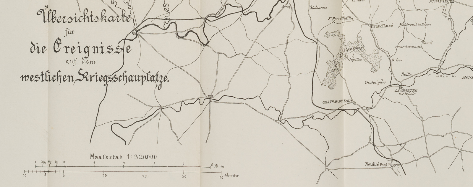
Unbekannt (19. Jahrhundert), Übersichtskarte für die Ereignisse auf dem westlichen Kriegsschauplatze, Nordwestliches Frankreich. Le Mans, Vendome, Chartres, 19. Jahrhundert, Lithographie
- Technik: Lithographie auf Papier
- Bezeichnung: Unten links mit Maßstableiste: 1:320.000.
- Datierung: 19. Jahrhundert
- Schlagworte: Landkarten, Frankreich, Figürlich, 1800-1849
- Größe: 45,5 cm x 64,4 cm, Darstellung: 37,0 cm x 56,0 cm
- Zustand: Hervorragender Zustand. Die Faltkarte ist an den Knickspuren stellenweise fragil. Dort, wo zwei Kickfalten aufeinander treffen, ist das Papier teils gerissen, trägt kleine Löcher. Das Blatt hat sich altersgemäß gelblich verfärbt. Die Ränder tragen stellenweise Stoßspuren – Spuren des Gebrauchs.
English Version:
Unknown (19th century), Outline map for the events on the western theatre of war, north-western France Le Mans, Vendome, Chartres, 19th century, Lithography
- Technique: Lithography on Paper
- Inscription: Bottom left with scale bar: 1:320,000.
- Date: 19th century
- Keywords: 19th century, Figurative, Maps, France,
- Size: 45,5 cm x 64,4 cm (17,9 x 25,4 in), Depiction: 37,0 cm x 56,0 cm (14,6 x 22 in)
- Condition: Excellent condition. The folding map is fragile in places at the creases. Where two kick folds meet, the paper is partly torn, bears small holes. The sheet has yellowish discolouration due to its age. The margins bear bump marks in places – traces of use.