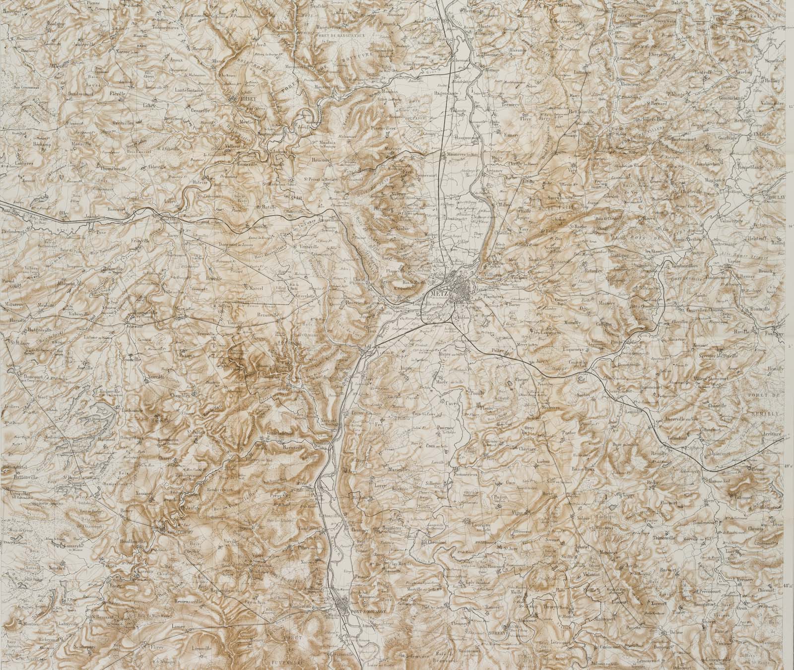
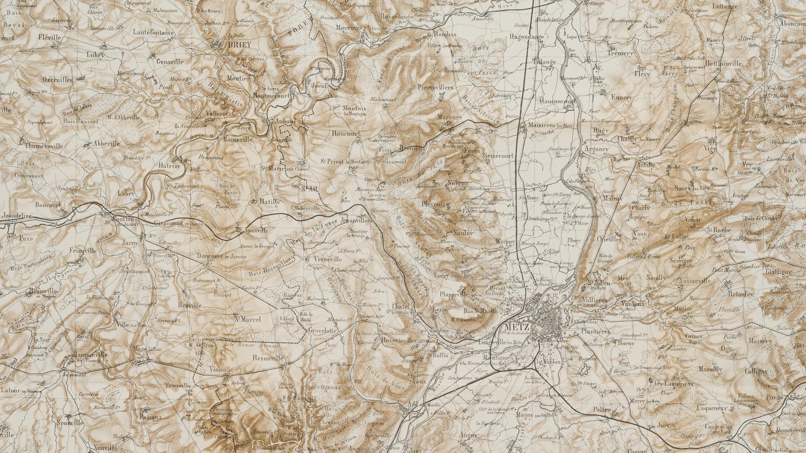
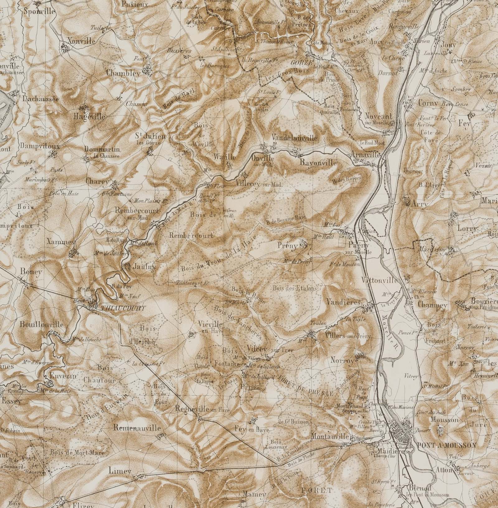
Unbekannt (19. Jahrhundert), Karte von Metz und Umgebung. Lothringen. Frankreich, 19. Jahrhundert, Lithographie
- Technik: Lithographie auf Papier
- Datierung: 19. Jahrhundert
- Schlagworte: Landkarten, FrankreichMetz, Figürlich, 1800-1849
- Größe: 54,3 cm x 70,5 cm, Darstellung: 51,5 cm x 61,3 cm
- Zustand: Guter Zustand. Die Faltkarte ist an den Knickspuren stellenweise fragil. Dort, wo zwei Kickfalten aufeinander treffen, ist das Papier teils gerissen, trägt kleine Löcher. Das Blatt hat sich altersgemäß gelblich verfärbt. Die Ränder tragen stellenweise Stoßspuren – Spuren des Gebrauchs.
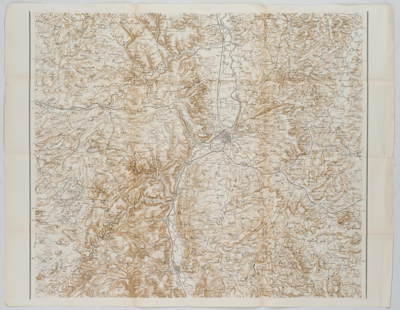
English Version:
Unknown (19th century), Map of Metz and surroundings Lorraine France, 19th century, Lithography
- Technique: Lithography on Paper
- Date: 19th century
- Keywords: 19th century, Figurative, Maps, France,
- Size: 54,3 cm x 70,5 cm (21,4 x 27,8 in), Depiction: 51,5 cm x 61,3 cm (20,3 x 24,1 in)
- Condition: Good condition. The folding map is fragile in places at the creases. Where two kick folds meet, the paper is partly torn, bears small holes. The sheet has yellowish discolouration due to its age. The margins bear bump marks in places – traces of use.